Plan the trip a photographer
would actually take.
PhotoScout is an AI itinerary tool for working landscape photographers. Tell it where and when. It returns the route, the spots, the gear notes, and the exact times the light will hit.
No diffusion. No vibes. Just times, coordinates, and light.
- Spots routed
- 12,400+
- Avg. light delta
- ±4 min
- Built by
- Photographers
Where and when?
Ready itineraries
Photo trips & collections
 COASTAL
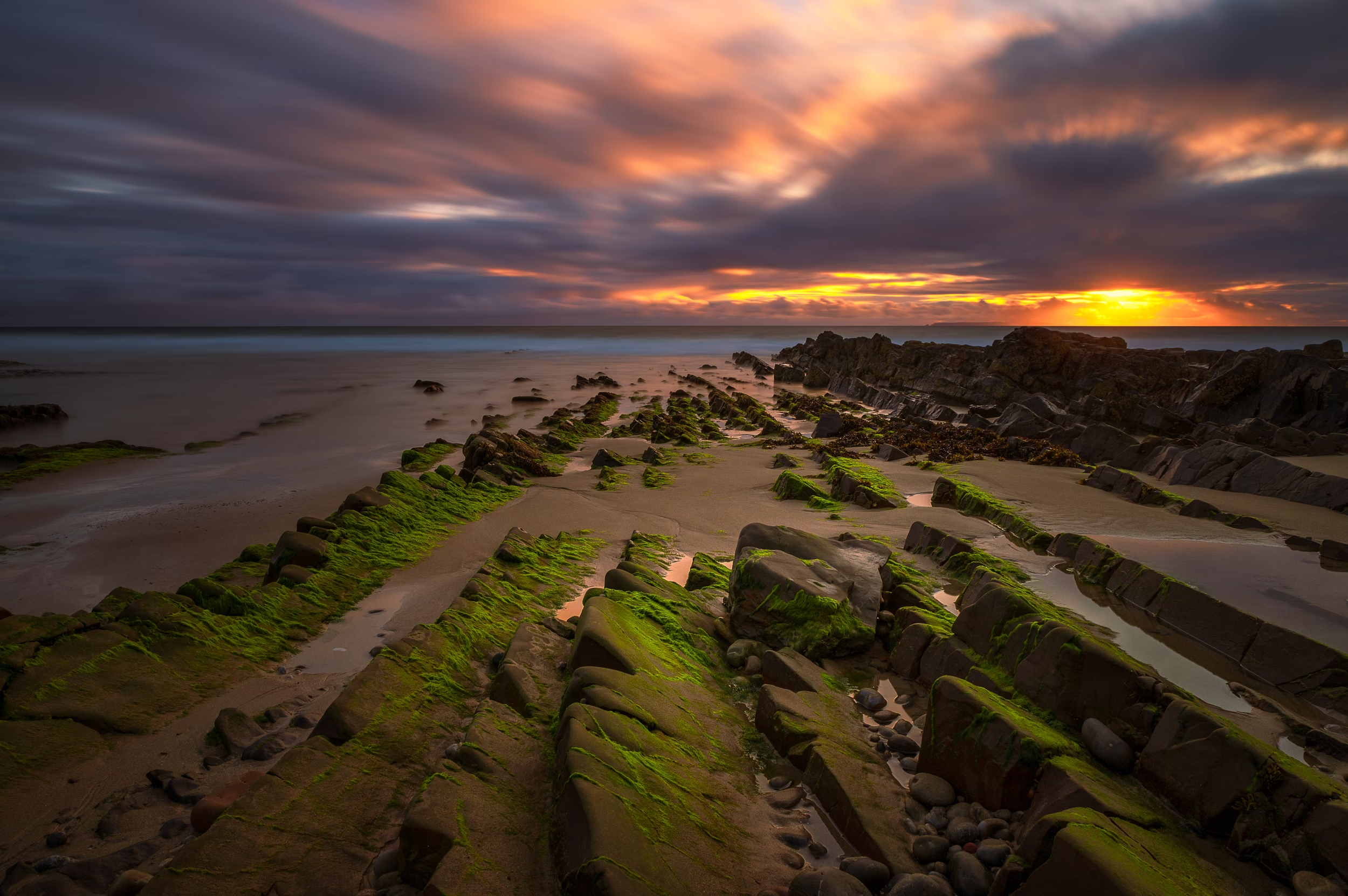
Lighthouses of Atlantic Europe
Brittany · Galicia · the Faroes
Storm light, sea stacks, and beam-on-cliff classics from Finistère to Mykines — routed for the hour the beam and the sky fire together.
View collection →Windmills of the Netherlands
Kinderdijk · Zaanse Schans
Canal reflections and sail silhouettes at first light, before the tour buses — the UNESCO row at Kinderdijk plus quieter town mills.
View collection →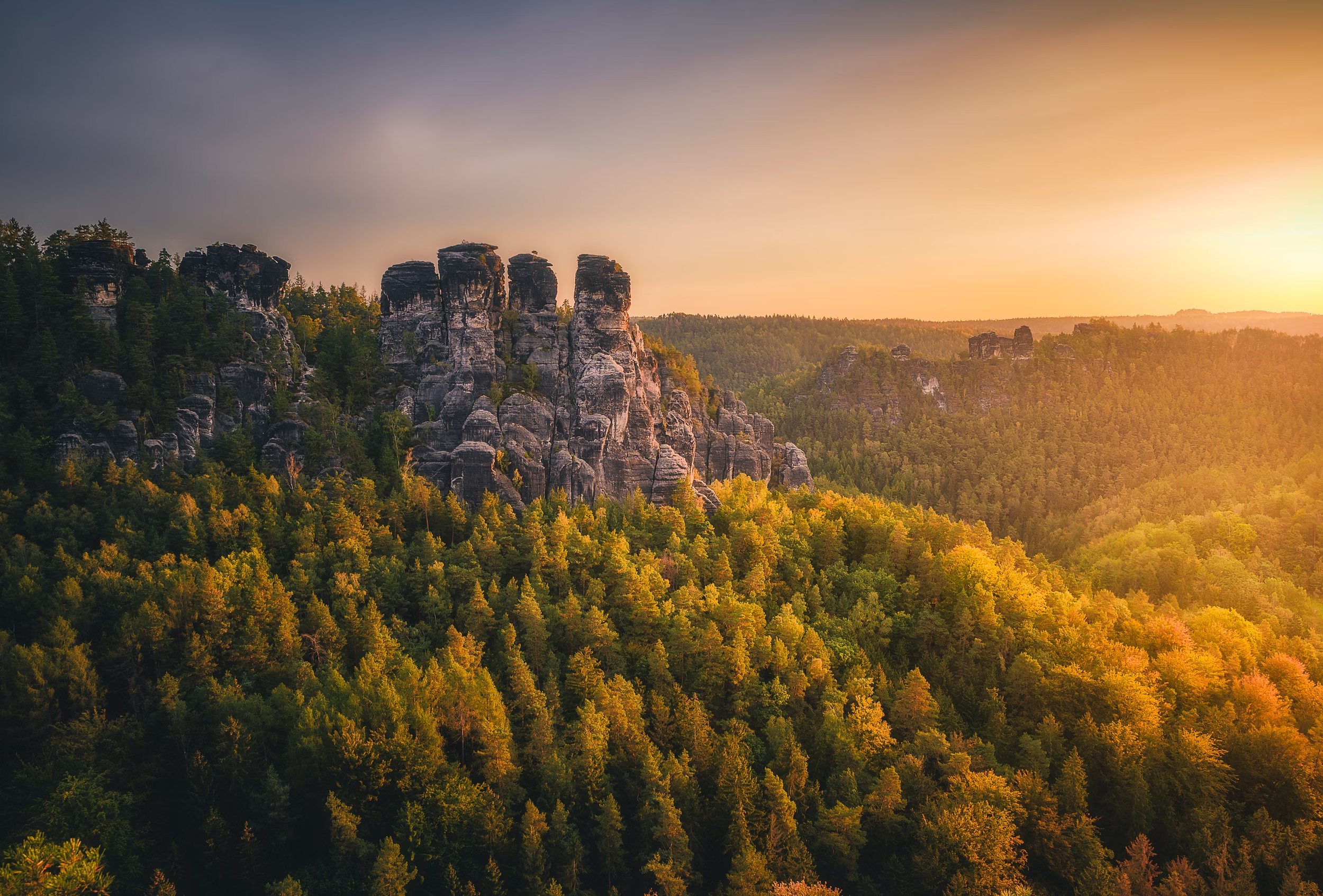 ARCHITECTURE
Castles of Germany
Neuschwanstein · Burg Eltz · Hohenzollern
Fog-wrapped keeps and forest overlooks, routed for morning haze and autumn colour across Bavaria, the Swabian Jura, and the Mosel.
View collection →Best of Slovenia
Lake Bled · Jamnik · Vršič Pass
Alpine chapels, mirror lakes, and Julian Alps passes in one compact loop — from the Bled classic to the Adriatic light at Piran.
View collection →Maps & guides by photographers
Lofoten Landscape Photography Location Map
by Charles BarbéPhoto tours & shared trips
Lead a photo tour? List it here
Run workshops or guided shoots? Submit your tour — every listing is reviewed by a human before it appears.
Submit a listing →For travellersPlanning a trip? Find companions to share costs
Propose a cost-sharing trip and pair up with other photographers heading the same way. No commission, no middleman.
Submit a listing →Suggested destinations
Times and tides
Sunrise, sunset, blue hour, golden hour — calculated for the exact coordinate and date. Not an average. Not a guess.
Coordinates and gear
Every spot has decimal-degree coordinates and a one-line position note. Focal lengths and filter calls where they matter.
Light and weather
Cloud cover, wind, and aurora KP. Drone NOTAMs and restricted zones flagged before you drive 38 km the wrong way.